Trails visiting Ancestral Pueblo Ruins in the canyon country along the southern Utah-Colorado border. Includes the remote sites of Hovenweep National Monument, the relatively well known Sand Canyon Trail system, and many wild hikes to little known hidden sites. Notes and Pictures. Hike for fitness and environmental awareness.
Saturday, September 27, 2008
Solstice Panel on the Holly Ruins Trail
The Holly Trail is a 4.0 mile route from the Holly Ruins Group south to the campground near the Hovenweep National Monument Visitor Center on the south Utah and Colorado border. Just past the Holly Ruins Group is a small petroglyph panel that is thought to be connected with Ancient Skywatchers and the summer solstice.
 The Holly Ruins Group is at the head of a small canyon with a seep springs providing water. Several of the structures here are perched on boulders. The terrain is rocky and dry with scattered Utah Junipers and sagebrush on the rim and greener in the canyon bottom.
 Just past the ruins group, there is a short side trail to the petroglyph overlook point. There are steep cliffs below the overlook and no easy way to get close to it.
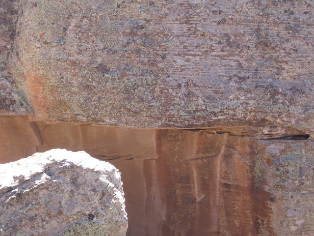
 The petroglyph is on the underside of a large boulder that has broken open. The natural arrangement of the rock is such that a beam of light hits the panel at sunrise for a few days around the summer solstice. In some cases man made portals are made for these observations, but here a natural portal was used.
 To the left it looks like there is a spiral and maybe a series of arcs. To the right there appears to be some concentric circles. The trail guide says there are some wall segments and rubble but these aren't visible from the overlook.
Labels:
Holly Ruins Trail,
Hovenweep,
Skywatchers,
Solstice Panel
Friday, September 12, 2008
McLean Basin South Rim- Pedro Point Trail
The McLean Basin South Rim Trail is a back country route in Canyon of the Ancients National Monument near the southern border of Colorado and Utah.
The route follows the dirt road marked 4720 west. This road is about 1.4 miles south of the turnoff for the Painted Hand Pueblo along paved route 10, and about 8 miles north of the Visitor Center for Hovenweep National Monument.
Canyons of the Ancients National Monument has a very high density of Ancestral Pueblo ruins sites. There are only a few designated trails to major sites. For the rest of the area, visitors are encouraged to discover them on their own. There is a rubble pile site in the first mile, close to the road on the south side. This site has some wall sections still holding together on the south end.
A short distance past this site, there is an overlook view point to the north toward Mclean Basin. The elusive McLean Basin Towers are visible from here, about 2 miles away, at the base of some cliffs.
It is possible to hike down into McLean Basin from Pedro Point and find two or three ruins sites in the area below. The elusive McLean Basin Towers are also down below but further east.
There are other small sites in this area that I found on later hikes. Use the Pedro Point related labels to find these sites.

Subscribe to:
Posts (Atom)