
The Woods Canyon East Rim Road is a west turn 0.2 miles past the carbon dioxide gas plant that is at the junction of Roads U and 14, west of the community of Yellow Jacket in southwest Colorado. I started hiking 1.1 miles down this road at a carbon dioxide well site.
Along the road here, to the west are good views of the Woods Canyon Pueblo site. From this starting point, the hiking is generally south along canyon rims with a crossing of one small drainage. There isn’t a trail to follow here. From previous observation from the cliffs above the alcoves, I had a good bearing on the hill I was heading for and used a compass to stay on course in the forest when there wasn’t good visibility.


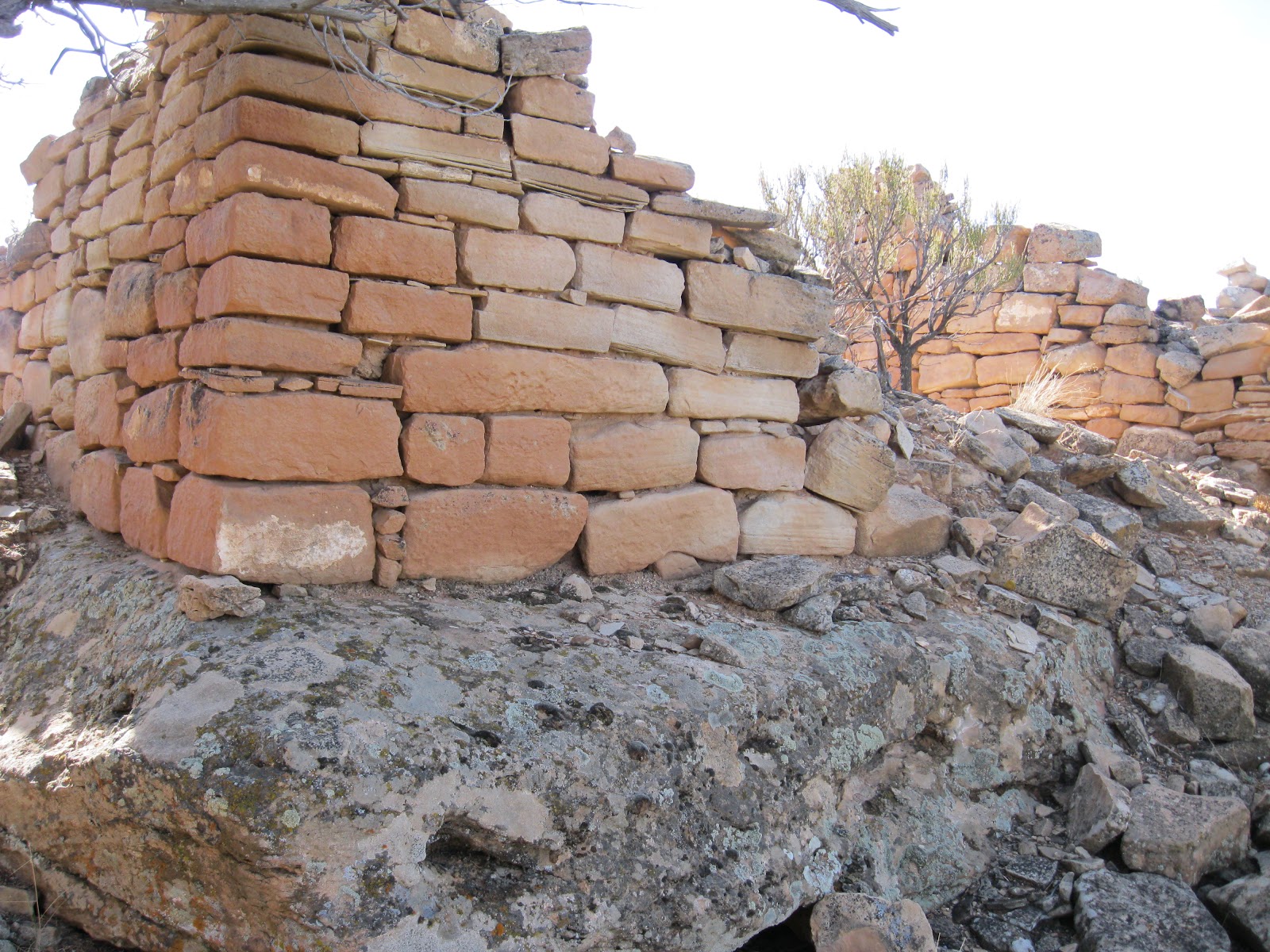


There is a little more room on the ridge top to continue west to views toward Yellowjacket Canyon and then view the ruins site from a different angle.

It took me 1:00 hour to arrive at this site and I lingered in the area for 1:10 hours. My return hike took 1:20 hours for a total hike of 3:30 hours. I carried and drank 2 liters of water on a 56 F degree late November day. There might be some minor sites to keep an eye out for in the small canyon drainage that is along the way.
Fantastic site, great photos. Ever thought about GPS maps of your routes? It would be a great addition to your site as I am finding out that Colorado is not one for good signage.
ReplyDeleteThank you for the tips!