The lower and southwest end of the Burro Canyon area, in Canyons of the Ancients in southwest Colorado, can be explored along an old road that descends from the south rim and crosses to the mesa top area between the two apparent parallel canyons.
The old road curves back to the west and runs along the south side of a large sky island, then continues out to viewpoints overlooking Yellow Jacket Canyon. There aren’t many official trails in Canyons of the Ancients, but the old roads often make good routes through these wild canyons.

It then follows the canyon bottom east for about 1 mile before climbing out to the mesa top. Looking across, there are several grassy areas on the mesa top area near the sky island. About half way down, another trail splits off, heading west down canyon. At the canyon bottom, the trail passes a very large pour off point.

Hikers interested mostly in ruins sites could stop at the canyon bottom and return to the rim. There are several ruins sites to find at the upper end of Burro Canyon, so I was disappointed not to find more in the lower end.


On a separate hike in late September, I started at the same rough road but then followed the road that splits off half way to the canyon bottom. This trail follows the south rim west and curls around a point that overlooks Yellow Jacket Canyon. There are good views toward the mouth of Burro Canyon and across Yellow Jacket Canyon.
It might be possible to hike all the way to the bottom of Yellow Jacket Canyon here, but I didn’t see any ruins sites below to head for. A segment of the canyon bottom in this area is public land, but crossing and trying to climb the opposite side looks like a major effort.
It might be possible to hike all the way to the bottom of Yellow Jacket Canyon here, but I didn’t see any ruins sites below to head for. A segment of the canyon bottom in this area is public land, but crossing and trying to climb the opposite side looks like a major effort.

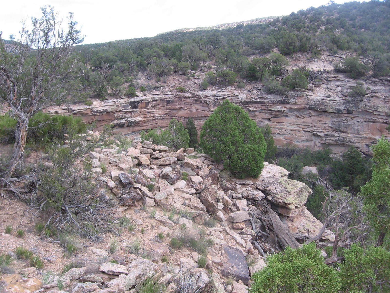
The trail curls around the point and follows a long section of southwest facing cliffs. I thought this segment had some potential ruins locations, but I didn’t notice any despite a lot of scanning. I turned around at the end of the cliff segment, about 3.5 miles from where I started. The trail continues south at this point and may eventually loop back north toward the starting point, but it could be a long distance. The end of this loop is the road that is directly across the road from where I started, so a separate hike could start there. This separate hike took 4:10 hours for about 7 miles on a 78 F degree late September day.

No comments:
Post a Comment