Sunday, September 25, 2011

Cannonball Mesa Cliffs Southwest

The southwest corner of Cannonball Mesa has a rocky point above high cliffs that overlooks the Ismay Pueblo and Petroglyph site. This area is on the southwest side of the Canyons of the Ancients area in southwest Colorado. The access is about 26 miles west of Cortez, CO along County Road G. A short distance east of the point, there is a south turnoff that leads to the Hamilton Mesa area.

On the north side of County Road G, across from the turnoff, there is a short unmarked trail that climbs toward the south side cliffs. On a shelf area below the cliffs, the Ismay ruins site has a boulder based neighbor. This site is visible from the mesa top point, but isn’t visible from the road.

The boulder forms something of a rock shelter with a constructed room in front. There are remains of other rooms around the west side also.

From the backside there views of the wall segments on top of the boulder. The overall site is bigger than it appears at first. More rubble is behind the boulder and there are minor structures spread across the hillside. This terrain and environment here appears to be very dry but it is near the junction of McElmo Creek and Yellowjacket Creek, both with flowing water most of the year. The Cannonball Mesa area has several more ruins sites to search for.

On the east side of the boulder there is a petroglyph panel. I haven’t seen much rock art in the Canyons of the Ancients except here in the Cannonball Mesa area.

Some of the other nearby boulders have minor images also. There is a roadside boulder a short distance west of the trailhead that has easy to view rock art, but it is somewhat vandalized with recent graffiti. Some of the rock faces up above have initials inscriptions with dates from the 1930s.

I spent 1:20 hours visiting this site on an 82 F degree late September afternoon. The hiking distance is very short; most time is spent exploring the area. The Ismay Pueblo and Petroglyph site is just a short distance further west. It is probably possible to continue to the mesa top from this site. From the mesa top view I saw a notch in the cliffs above the ruins that can be hiked, but I thought it would be easier to visit from the road.


532497_120 x 90 Starting Salary $42k. Group 1 18407_$5 Shipping on Orders of $99 or More!

Friday, September 23, 2011

Hamilton Mesa Trail

Hamilton Mesa forms the south side of McElmo Canyon in the area where Cannonball Mesa forms the north side. This relatively dry area is the southwest corner of the Canyons of the Ancients in southwest Colorado. The trail is the unmarked BLM road that is a south turn from County Road G, 26 miles west of Cortez, CO. There is a roadside boulder with some petroglyphs about 100 yards west of this turnoff.

The Hamilton Mesa Trail is lightly used as it requires visitors to get across McElmo Creek, which carries irrigation water much of the year. I brought river sandals for the out and back creek crossings. In late September the water was knee deep with enough current that I used a long Tamarisk stick to help with balance and walked carefully. The footing was firm on the mostly rocky bottom. It reminded me of the creek crossings on the popular hikes at Mill Creek in Moab, Utah.

The trail heads south for about 1 mile along the west side of Hamilton Mesa and then turns east and follows the south side. There are large power lines crossing the area near the trail. After about 2 miles, there is a fence with a gate at a large inlet on the south side of the mesa.

The canyon area on the south side is very wide and very dry with only grasses and scattered shrubs growing. I was walking slowly and scanned the cliffs for Ancestral Pueblo ruins sites but didn’t notice anything.

The road continues into the distance along the floor of the mostly featureless canyon. I crossed through the gate and walked up the draw. There appeared to be a place to climb to the mesa top. Once up on top, there is a lot of level area to explore. There are more Juniper trees on top but it is still a dry environment.

The Hamilton Mesa top isn’t very wide and it is easy to walk to the north rim for views across the green irrigated bottom of McElmo Canyon. There is a road on the mesa top that leads to the east. It is probably possible to walk up on the mesa top using the road system rather than climb up like I did.

There are good views in the area where I hiked but I didn’t find any ruins sites. My total hike in the Hamilton Mesa area took 4:30 hours for about 6 miles. The small scale maps for this area at the Anasazi Heritage Center show some archaeology sites for this area and there is lot more area to explore. I carried and drank 3 liters of water on a sunny late September day that was 60 F at 9:45 AM and 82 F at 2:15 PM.

Tuesday, September 6, 2011

Pedro Point South

The Pedro Point road leads to one of the easiest to find unpublicized Ancestral Pueblo ruins sites in the Canyons of the Ancients National Monument in southwest Colorado. The route follows the BLM dirt road marked 4720 west.

This road is a west turn, about 1.4 miles south of the turnoff for the Painted Hand Pueblo along paved County Road 10, and about 8 miles north of the Visitor Center for Hovenweep National Monument.
On this hike I was looking in the area south of the Pedro Point Road about half way to the well known ruins site. I drove the first 0.6 miles to the point where there is a good overlook to the north into the McLean Basin, then starting hiking along the road, but mostly looking at the heads of the large side canyon on the south side of the road.

After about 25 minutes and 0.8 miles, I turned south and followed along the west rim of the long side canyon.

After less than 0:10 minutes of hiking, I noticed a tall rubble pile within about 100 feet of the canyon rim. There is a second smaller rubble pile on the west side.

There isn’t much definition to the rubble pile combination. These two structures seem to be isolated, about 1.5 miles southeast of the large Pedro Point site.

There were many pottery shards associated with this site. I mostly saw plain white pieces and corrugated with a few painted designs.

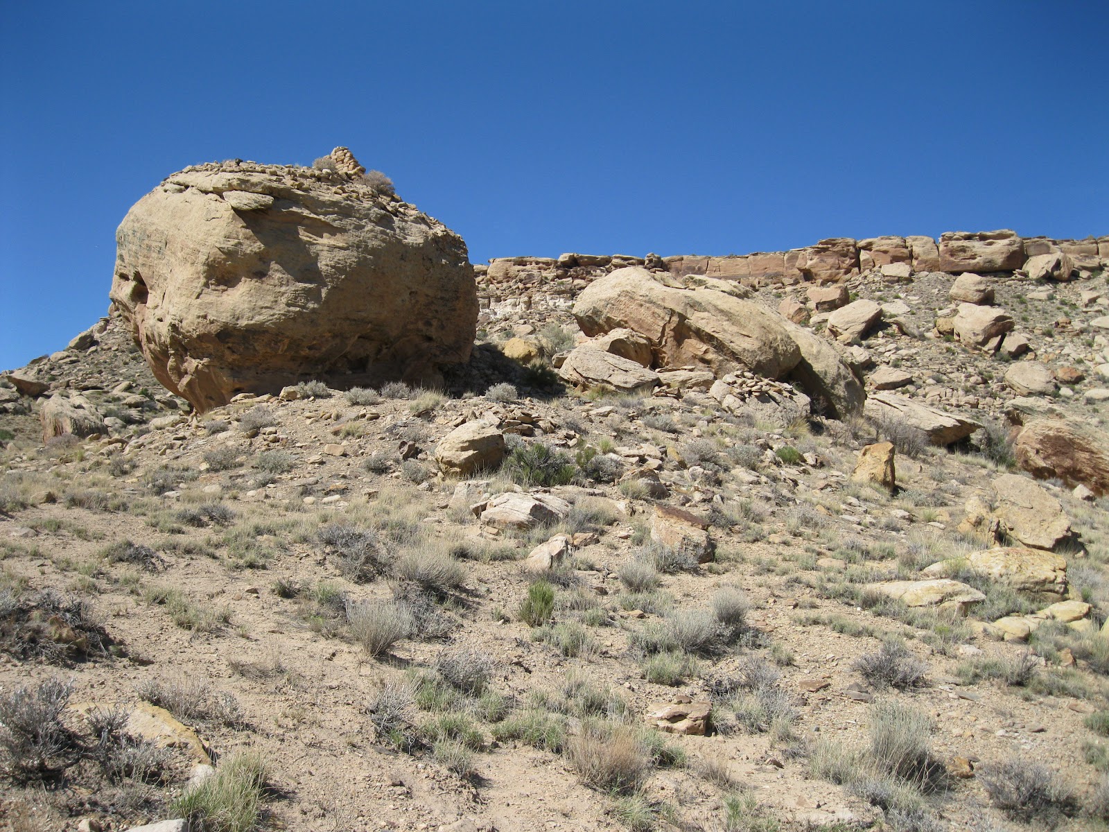
I continued west through a wide sage brush field without seeing any other sites, then turned north and intersected the Pedro Point Road about 0.8 miles east of the large Pedro Point site. Near where I found the road there is a small rubble pile close to the south side of the road. This site would probably not be noticed if you are driving but hikers should see it.

The return hike to my starting point took 0:40 minutes for about 1.6 miles. My total hike took 1:45 hours for about 4 miles. It was an 80 F degree early September morning. I carried and drank 2 liters of water.

There are viewpoints along the Pedro Point Road into the wide McLean Basin. The elusive McLean Basin Towers are visible with binoculars below some cliffs toward the northeast side of the basin.