Showing posts with label Sandstone Canyon. Show all posts

Sunday, April 17, 2011

Woods Canyon Mesa Top

The Mesa Top area between the Canyons of the Ancients Woods Canyon on the east and Sandstone Canyon on the west can be accessed along County Road W west of the Community of Yellow Jacket in southwest Colorado.

The turn off is west on County Road Y from Highway 491, then south on Road 16 to Road W. At the end of Road W near a gas facility, BLM Road 4529 provides as easy trail. I followed the BLM road as it twisted south and east for about 1.5 miles until it ends with a turnaround circle.

On this hike I wanted to see where this road goes and didn’t detour off even though most of the Ancestral Pueblo ruins sites and the good views are usually found near the canyon rims. At the road end, hiking can continue for another 1.5 miles or so out toward an overlook of the junction of Woods Canyon and Sandstone Canyon.

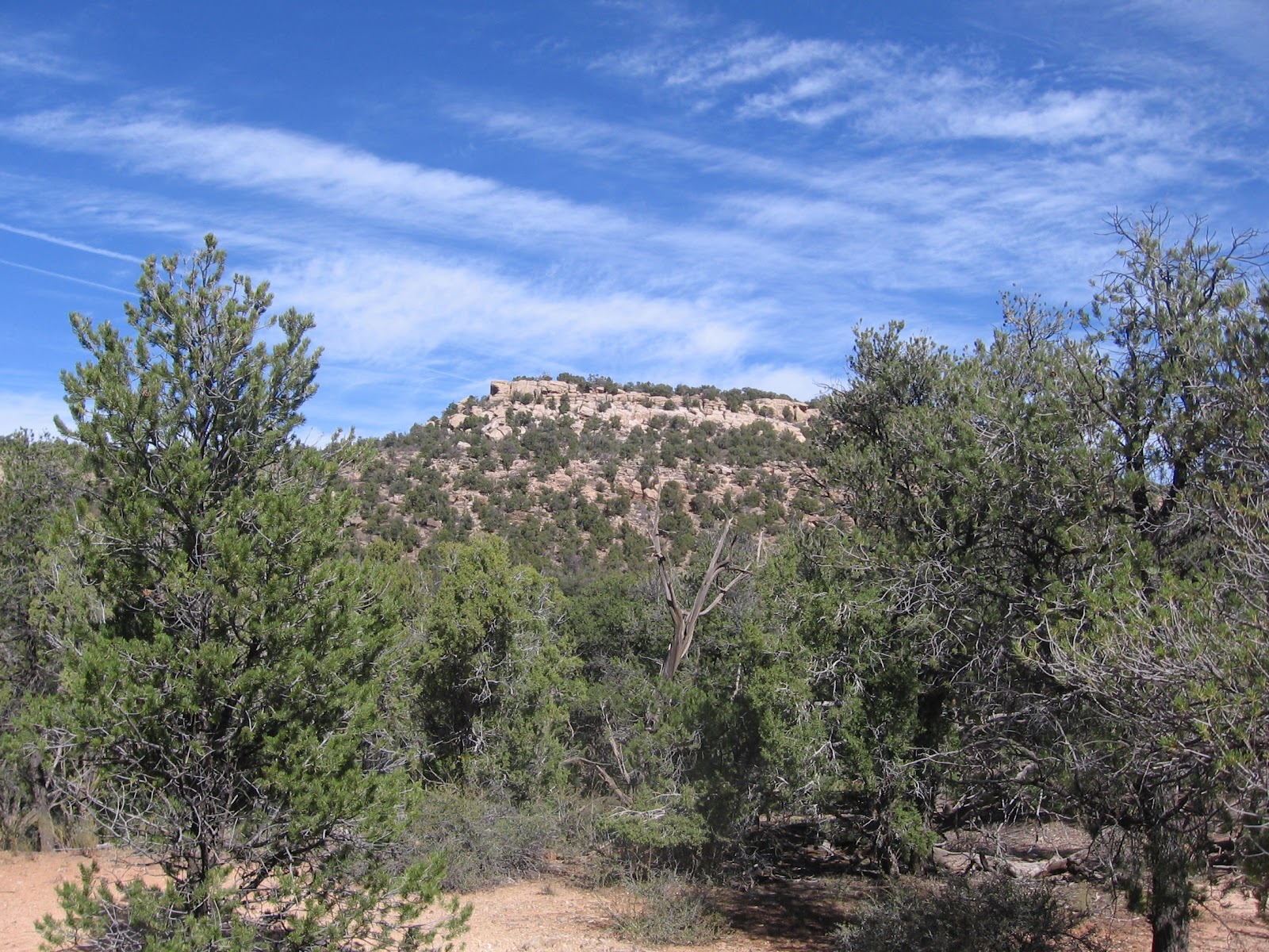
The mesa top area has some narrow sections where there are views both east and west. The west view is one of the best available views of the middle part of Sandstone Canyon. It looks like there is a trail leading toward the canyon bottom below the view point, but I didn’t see where this trail might connect to the mesa top. I scanned the area below with binoculars and didn’t spot any ruins sites, but they are often obscured by the forest.
 

Further out toward the junction overlook on the Woods Canyon side, I spotted a small rubble pile ruins site just below the rim. It was easy to find a way down for a closer look, but this appeared to be a small site without any walls still intact.
 

On a previous hike south of the Woods Canyon Pueblo site, I sighted a square tower in the cliffs below the neck area of this mesa top. It is in an alcove in the darker rock layer that is near the canyon bottom. I looked all along the rim above this structure but couldn’t see the tower from above. I did see a couple of rock cairns in the vicinity, but these didn’t help me find a view point.
 
The cliffs are very steep here. I looked around for more than an hour but the only view of the tower I could find was to descend all the way to the canyon bottom and slightly up the other side. I came across a trail at the bottom of the canyon, probably a cow trail.
 
Besides the cliffs above the tower, there are also cliffs below and the side approaches seemed steep, so I didn’t get a better view than the one from across the canyon. From below, it looks like there should be a route to view the site closer, but the straight up approach is steep. My approach was toward the south side where it was less steep but the structure goes out of site as you climb.

My total hike took 4:30 hours for about 6 miles on a 56 F degree windy mid April day. I carried and drank 3 liters of water.


Saturday, October 30, 2010

Mockingbird Mesa below the East Rim

The access to Mockingbird Mesa is the well maintained road that is the extension of County Road 12, south from the junction with County Road BB west of Pleasant View, Colorado. It is 5.8 miles south to the Canyons of the Ancients National Monument sign. It is 8.5 miles total to the normally closed gate and there is a left turn at a BLM sign describing the Mockingbird Mesa area as closed to vehicles but open to foot traffic and horses.

On a previous hike along the Mockingbird Mesa east rim, I noticed a boulder based Ancestral Pueblo ruins site below the rim, less than 0.5 miles south of the closed gate.

I started at the closed gate and hiked east to the rim, past the large rubble pile ruins site that is behind the carbon dioxide plant. I found one of the many notches in the sandstone rim that allows a descent onto a wide ledge area and hiked south toward the ruins site. This canyon appears to be a side canyon of Sandstone Canyon.

From the rim, all you can see is the rubble on the top of two boulders. This site is about halfway to the canyon bottom. On the rim side of the site there are the remains of some wall sections visible, along with a lot of rubble that appears to have fallen from the boulder top. It took me 0:40 minutes to reach this site, with slow hiking.
 
A closer look shows the extent of the rubble. There might be a grinding stone visible at the site. Most of the pottery shards I saw were corrugated.
 
Around the south side there are some small alcoves with some minor wall work still in place. Using large boulders as the foundation of a building site seems to be common around the edges of the Mockingbird Mesa area.

From this site I continued down canyon and down slope southeast for another 0.5 miles, and 0:30 minutes and stumbled across another site. This site is obscured by the thick Pinon Pine and Juniper forest and I don’t think it is visible from the canyon rim.

From the west side view, it seems to be horseshoe shaped or an incomplete circle. It sits on a flat area to the west of the canyon bottom and is hard to spot until you are very close to it. I was 1:40 hours into my hike when I arrived at this site.
 

The east side of this site has a thick wall section still holding together. I didn’t see any other walls or structures close by this circular site. It seems to stand alone. There were some painted design pottery shards visible here.

From this second site I crossed the canyon bottom and continued a little further southeast but then turned back north, scanning the cliffs visible to the east and north, but without seeing any other ruins sites. My return hike stayed more on the east side of the canyon bottom than my descent. My total hike took 3:30 hours for about 3 miles on a 62 F late October day. I carried 3 liters of water and drank 2 of them.